|

|
Washington State |

San Juan Islands-Pile Point 3m (jpg) |
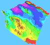
San Juan Islands-Pile Point 3m (jpg) |
San Juan Islands-Pile Point 3m (jpg) |
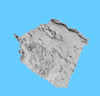
San Juan Islands-Neck Point 3m (jpg) |
San Juan Islands-Neck Point 3m (jpg) |
| Northern California | 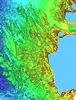
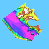
Mackerricher (jpg) |
Pt Cabrillo 2m (jpg) |
Pt Cabrillo 2m (jpg) |
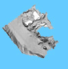
Bodega Bay south 1m (jpg) |
|
| Central California | 
Farallon Island 1m (jpg) |
Farallon Island 2 1m (jpg) |
Monterey Bay Shalebeds 1m (jpg) |
Pt Pinos-Cannery Row 1m (jpg) |
Pt Pinos-Cannery Row 1m (jpg) |
Monastery-Cypress 1m (jpg) |
Pt Lobos-Monastery 2m (jpg) |
Pt Lobos-Monastery 2m (jpg) |
|||
| Southern California | |||||
Santa Barbara Island 1m (jpg) |
Santa Barbara Island 1m (jpg) |
||||
Catalina Island 2m (jpg) |
Catalina Island 2m (jpg) |
||||
Santa Monica Block 13 2m (jpg) |