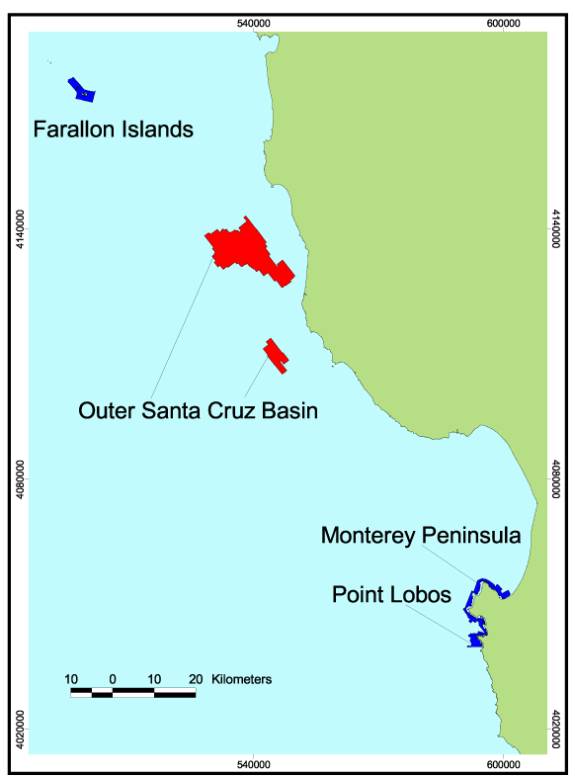
Footprint Map of Central Region B. Regions included in this volume were
either surveyed by CSUMB (Point Lobos, Monterey Peninsula, and Farallon
Islands – blue) using multibeam imagery or by industry (Santa Cruz Basin –
red) using sidescan sonar imagery and mapped by the Center for Habitat
Studies.