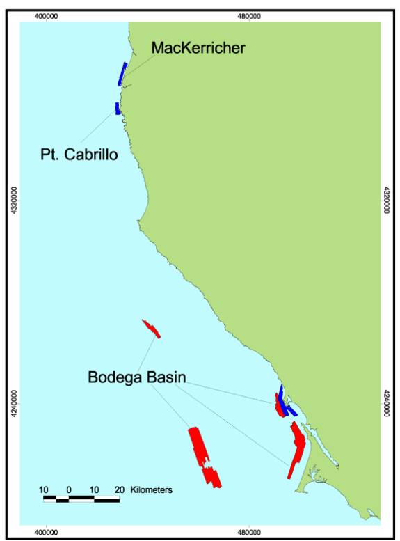
Footprint Map of Northern Region A. Regions included in this volume were
either surveyed by CSUMB (Bodega Basin, Pt. Cabrillo, and MacKerricher –
blue) using multibeam imagery or by industry (Bodega Basin – red) using
sidescan sonar imagery and mapped by the Center for Habitat Studies.