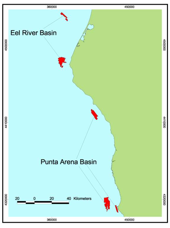
Footprint Map for Northern Region B. All regions included in this volume
were surveyed by industry using sidescan sonar imagery (red) and mapped by
the Center for Habitat Studies.
Footprint Map for Northern Region B. All regions included in this volume
were surveyed by industry using sidescan sonar imagery (red) and mapped by
the Center for Habitat Studies.