

| Home . Capabilities & Assets . Research Labs . Data Resources . Training & Curriculum | ||||
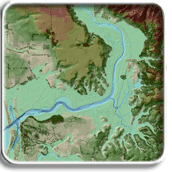
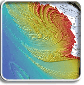
Spatial Technology for Environmental Research SIVA: A CSU COAST Technology Center Our ability to understand and respond appropriately to dramatic environmental changes now occurring along the California coast depends on availability of accurate, high-resolution geospatial data and a work force skilled in the application of these data. We need to obtain and quickly share detailed data on how coastal areas are changing in space and time. The CSU is already recognized for its excellence in geospatial technology through the application of cutting-edge instrumentation, software and a variety of earth and ocean databases. The newly formed COAST Spatial Information Visualization and Analysis (SIVA) Technology Center at CSU Monterey Bay (CSUMB) will build upon existing expertise and infrastructure to provide training in the acquisition, visualization and application of high-resolution geospatial data to coastal policy and management issues, thus providing solutions for the state. The mission of the CSU COAST SIVA Technology Center and its associated Specialized Service Facility (SSF) business model is to support and provide system-wide access to, and training on, state-of-the-art technology for the acquisition, analysis and visualization of remotely sensed, spatially explicit coastal environmental data. SIVA's expanded mission as a CSU COAST Technology Center is to meet current and emerging spatial technology research and training needs across the CSU.
|


